 ultimate-guide
Is Dunvegan a Good Base for Hiking? A Practical Guide
Table of Contents
- Is Dunvegan a Good Hiking Base? The Verdict
- Walks in and Around Dunvegan Village
- Hikes Near Loch Dunvegan and Western Routes
- Why Dunvegan Works as the Best Hiking Base on Skye
- A Sample Dunvegan Walking Itinerary for Multi-Day Exploration
- Seasonal Conditions and Daylight Planning
- What Makes Dunvegan Different as a Hiking Base
- Frequently Asked Questions
Last Updated: October 14, 2026
Is Dunvegan a Good Hiking Base? The Verdict
Is Dunvegan a good base for hiking? Yes, if you value proximity to western coastal routes, moderate day walks, and a peaceful village setting.
If your priority is summiting the Cuillin or covering maximum ground across northern Skye, Portree or Uig offer more central positioning. If you're drawn to coastal walks, cultural heritage, and accommodation where handmade beds and thoughtfully prepared breakfasts matter as much as the trails, Dunvegan excels.
Walks in and Around Dunvegan Village
Accessible Village Walks
Dunvegan village offers several accessible routes requiring no mountain experience.
The castle grounds have their own walking circuit with formal gardens and coastal vistas; combine a castle visit with adjacent village paths for a half-day outing. The terrain is level to gently rolling, suitable for families.
The Skye Art network connects artisan studios throughout the area; walking between workshops moves you through working landscapes rather than wilderness.
Coastal Routes from Dunvegan
The coastal paths westward toward Neist Point rank among the island's finest walks.
Coral Beaches offers a shorter coastal option with distinctive pink-hued sand created by crushed shells and coral fragments. These routes stay popular year-round, though winter daylight limits late starters.
The coastal sections near Dunvegan showcase seals, seabirds, and the raw Atlantic coastline. Weather changes rapidly, so local knowledge from your accommodation helps you time these walks.
Hikes Near Loch Dunvegan and Western Routes
Loop Walks with Loch Views
Several loop walks encircle Loch Dunvegan, ranging from 8 to 14 kilometres, offering mountain views without technical climbing across moorland, woodland, and open hillside.
The Cnoc Mor a'Ghrogain loop is a moderate half-day option with rewarding elevation gain and 360-degree views, starting and finishing near Dunvegan, a substantial mountain walk without lengthy travel to the trailhead.
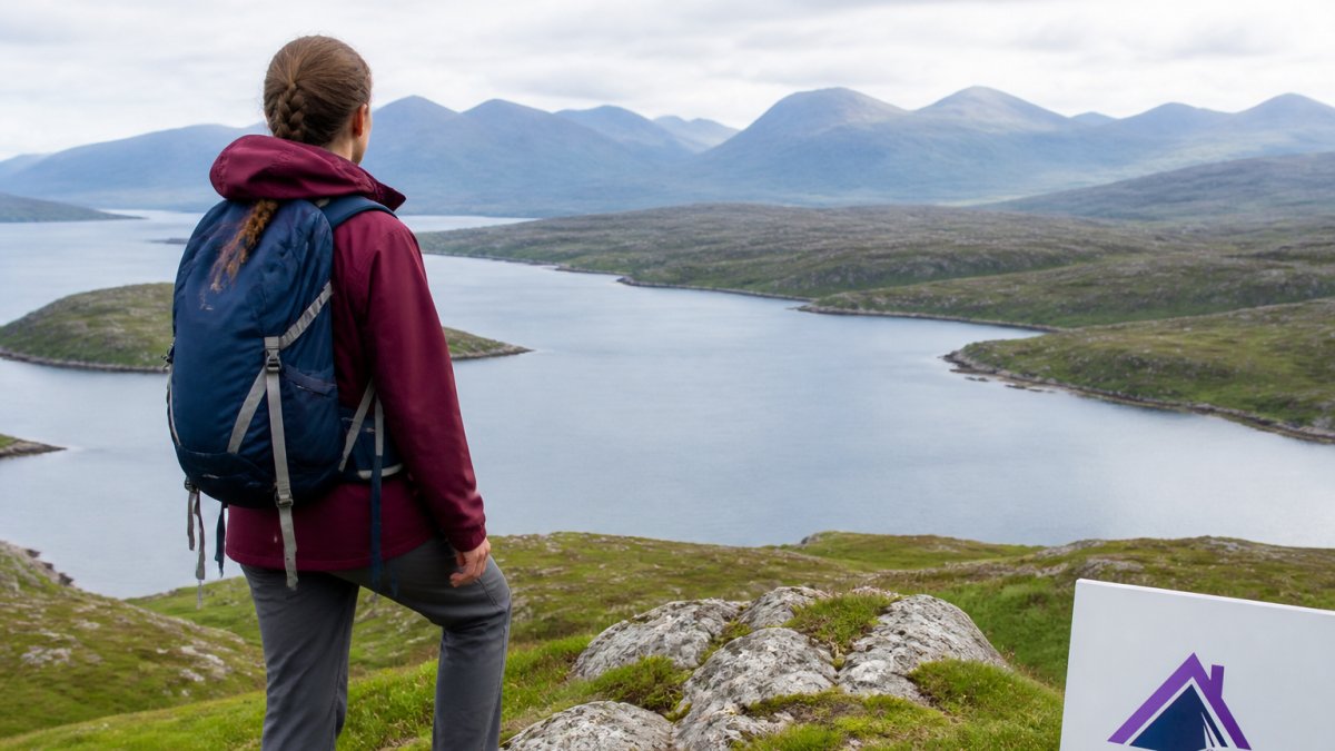
Coastal and Mountain Scenery
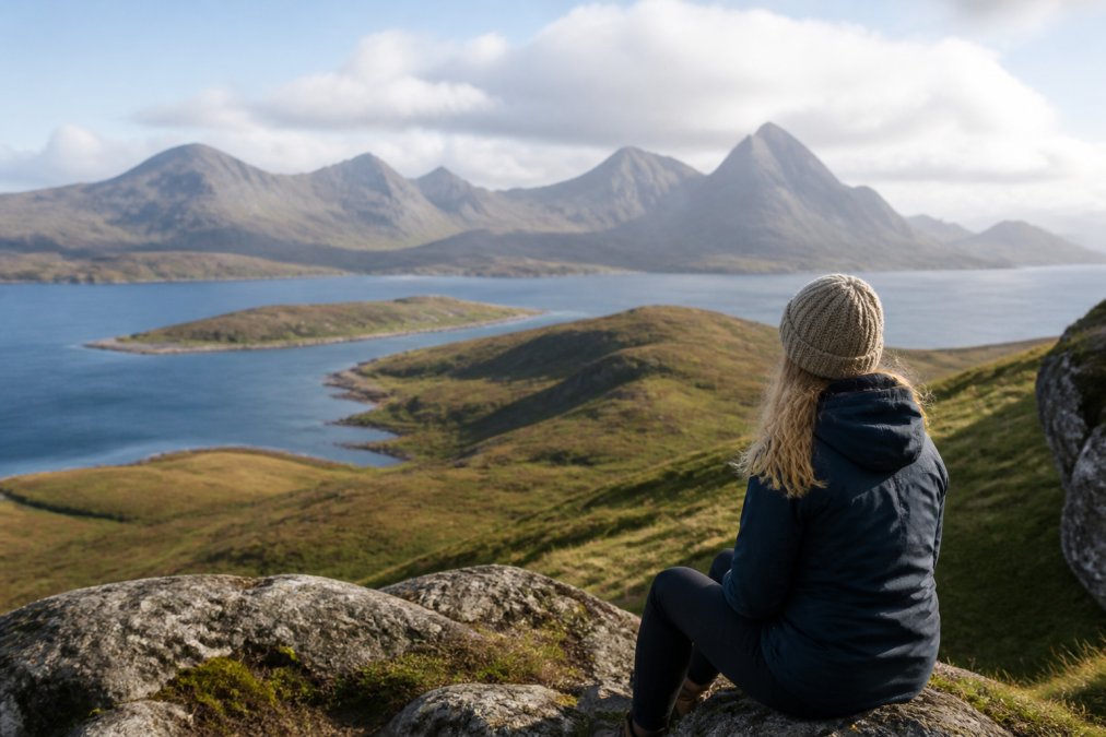
The western routes combine Skye's two defining landscapes, rugged coastline and mountain backdrop, often within a single outing.
Sgurr na Stri, visible from many Dunvegan walks, sits on the peninsula south of Loch Coruisk.
Bla Bheinn rises dramatically south of Dunvegan. The direct southern approach takes several hours and involves scrambling; lower slopes near Dunvegan capture the mountain's character without a full ascent.
Why Dunvegan Works as the Best Hiking Base on Skye
Proximity to Major Trailheads
Dunvegan sits on the western side of the island, and its value as a base comes down to how long it actually takes to reach the trailheads hikers care about. The figures below are typical driving times in good conditions; add roughly 20 minutes for every hour on single-track roads, and more in summer when tour traffic builds.
| Trailhead or route | Approx. drive from Dunvegan | Notes |
|---|---|---|
| Neist Point | 25-30 minutes | Single-track for the final stretch; parking fills early in summer |
| Coral Beaches (Claigan) | 20-25 minutes | Short walk from the parking area |
| Dunvegan Castle and village paths | On foot | No driving required |
| The Quiraing | 45-55 minutes | Staffin side; arrive before mid-morning |
| The Storr (Old Man of Storr) | 50-60 minutes | Large car park, but busy from spring to autumn |
| Glen Brittle (Cuillin approaches) | 55-70 minutes | Long single-track section |
| Elgol (for Loch Coruisk boat) | 60-75 minutes | Allow extra time for the boat check-in |
| Portree (for shops and fuel) | 35-40 minutes | The nearest large town |
This positioning lets you explore diverse terrain without relocating: luggage stays unpacked, you return each evening to familiar surroundings, and you avoid multiple check-ins.
The drive times reward early starts: adding 20 minutes to every hour on these highland roads means a 45-minute drive becomes a realistic 60-65 minutes.
How Dunvegan Compares with Portree and Uig
- Portree is the most central option and the best choice if your priority is the Quiraing, the Storr, and the Trotternish Ridge. It also has the widest range of shops, fuel, and restaurants. The downside is that it is further from Neist Point, the Coral Beaches, and the western coastal walks that make Dunvegan distinctive.
- Uig suits hikers heading to the northern Trotternish routes and the ferry to the Outer Hebrides, but it is a long drive from the Cuillin and the Elgol area.
- Dunvegan is the strongest base for western coastal walking, the Cuillin viewpoints, and a quieter village setting. It is a reasonable compromise for the Quiraing and the Storr, and it keeps Glen Brittle and Elgol within day-trip range, though both involve a longer drive than they would from Portree.
Access to the Cuillin and Beyond
The Cuillin dominate Skye hiking. Dunvegan's western position means you're not closest to the main peaks, but not excluded: the southern approach via Elgol remains accessible, and northern approaches via Glen Brittle work as day trips.
For hikers interested in the Cuillin without technical ridge walks, Bla Bheinn, Sgurr na Stri, and the Loch Coruisk approaches showcase the Cuillin's drama without requiring rock-climbing skills.
The trade-off is intentional: Dunvegan prioritises the western and northern island over the Cuillin core.
Hikes Reachable Without a Car
Dunvegan is workable without a car only if you plan around a small number of local walks and accept that the headline routes are out of reach.
- On foot from the village: the village loop, the castle grounds, and the coastal path toward Neist Point (the full return to the lighthouse is roughly 6 kilometres and takes most walkers 2-3 hours).
- By local bus: services connect Dunvegan with Portree and the wider island, but frequencies are low and timetables change seasonally. Check the current operator timetable before you travel, and treat the bus as a way to reach a town rather than a trailhead.
- By taxi: available locally but limited, and best booked in advance for early starts or late returns.
If you want to reach the Quiraing, the Storr, or Glen Brittle without driving, you will need either a taxi, a guided day trip, or a change of base. For most hikers, a car remains the practical way to use Dunvegan as a full-island base.
Facilities and Logistics for Hikers
Dunvegan covers the practical essentials without being a town.
- Food and supplies: there is a local shop and a small number of places to eat, but the range is limited compared with Portree. If you are self-catering or packing hill lunches, buy supplies in Portree or before you arrive.
- Fuel: fill up in Portree or Broadford where possible; local fuel options are limited and can be busy in peak season.
- Parking: village and castle parking is straightforward, but popular trailheads such as Neist Point and the Quiraing fill early. Arrive before mid-morning in summer.
Why Hospitality Changes the Base Experience
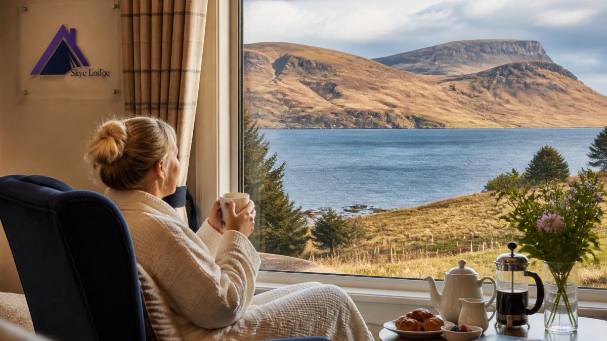
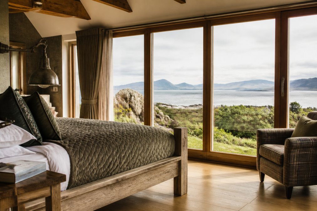
Accommodation quality matters more than many hiking guides acknowledge. After a full day on the hills, a thoughtfully designed room, quality bedding, and a carefully prepared breakfast shape the entire trip.
A Sample Dunvegan Walking Itinerary for Multi-Day Exploration
Days 1-2: Local and Coastal Walks
Arrive and settle in, Skye Lodge's thoughtful hospitality and locally sourced breakfast set the tone. Day one suits the village walk, Dunvegan Castle grounds, and a coastal route toward Neist Point, with evening dining at a local restaurant (booking ahead essential).
Day two expands outward: a full loop around Loch Dunvegan or a longer coastal route, building fitness for higher terrain. Return by late afternoon to explore the Skye Art studios or rest before dinner.
Days 3-4: Mountain and Loch Routes
Days three and four tackle moderate mountain walks: Cnoc Mor a'Ghrogain or similar loops with elevation gain and panoramic views, within reach of reasonably fit hikers.
A day trip south toward Elgol or the Cuillin viewpoints fits day four. Alternatively, explore the Quiraing or the Storr for contrasting landscapes.
Day 5: Relaxation and Heritage
The final day suits a gentle rhythm: a repeat of a favourite local walk, or cultural exploration. Dunvegan Castle, the gardens, and the artisan studios reward unhurried attention.
Seasonal Conditions and Daylight Planning
What matters is which routes suit which season, how much daylight you actually have, and what that means for planning a day from Dunvegan.
Daylight Through the Year
Daylight on the Isle of Skye swings dramatically across the year and should shape which walks you attempt.
- Midwinter (December): roughly 6-7 hours of usable daylight. Short coastal walks and village routes are realistic; long mountain days are not.
- Spring and autumn (March-April, September-October): around 12-14 hours, which comfortably fits a full day walk or a moderate mountain route with a reasonable start.
- Summer (June-July): 17+ hours, with only a few hours of true darkness around midsummer. Long days are possible, but midges and variable weather become the limiting factors.
A practical rule for any season: work backwards from sunset, subtract the walk time, add an hour for navigation and stops, and add the drive time from Dunvegan. If the result is before sunrise, the route is not a day trip.
Route Suitability by Season
- Winter: the village loop, the castle grounds, and the lower coastal paths toward Neist Point are the sensible choices. Higher ground and the Cuillin approaches are for experienced winter walkers with the right kit and navigation skills.
- Spring: the full coastal routes and moderate loops such as Cnoc Mor a'Ghrogain come into their own. Snow can linger on high ground into April.
- Summer: the best window for longer days toward the Quiraing, the Storr, and Glen Brittle. Start early to secure parking and to avoid the worst of the midges, which are most active at dawn and dusk in still, damp conditions.
Weather, Navigation, and Trail Conditions
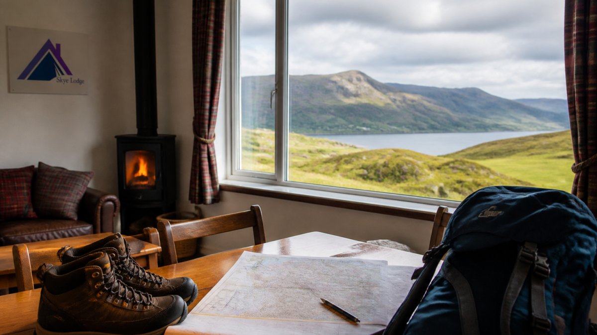
Weather changes with little warning. Check conditions before departing, carry waterproof layers, and accept that some planned walks may need rescheduling, flexibility defines successful Skye hiking.
Boggy ground is a year-round feature of many western routes, worst after sustained rain. Waterproof boots and gaiters are not optional on the moorland sections.
Mobile phone coverage varies across the island. Dunvegan village has reasonable signal, but higher ground and remote routes may not.
A Note on Midges
Midges are a genuine planning factor from late May to early September, particularly on still, damp days and around dawn and dusk. They are less of an issue on exposed coastal paths and in wind. A head net, repellent, and long sleeves make the difference between an enjoyable evening and a hurried retreat indoors.
Using Local Knowledge
Seasonal planning is where a good base earns its keep. Local advice on which routes are currently dry, which car parks are filling early, and which days suit which coast is worth more than any generic forecast. If you are staying with us, ask before you set out.
What Makes Dunvegan Different as a Hiking Base
The village's western position creates a natural rhythm: you explore thoroughly, revisit favourite routes, and discover quieter corners most visitors miss, an approach that suits travellers who value depth over breadth.
Dunvegan works as a hiking base when your priorities extend beyond peak-bagging. If you're seeking accessible trails, coastal scenery, cultural immersion, and a retreat that rewards staying put, it excels.
Frequently Asked Questions
Is Dunvegan a good base for hiking on Skye?
Yes, Dunvegan is an excellent hiking base. Its position on the west of the island provides direct access to coastal walks, Loch Dunvegan routes, and drives of 45-90 minutes to major trailheads like the Cuillin and Quiraing. The village offers a peaceful retreat with quality accommodation, local dining, and proximity to Dunvegan Castle and Neist Point. For walkers seeking a balance between accessible local trails and access to mountain routes, Dunvegan outperforms busier bases like Portree.
What walks can you do near Dunvegan village without a car?
Several accessible walks start directly from Dunvegan. Loop walks around the village and loch are suitable for all fitness levels, with routes ranging from 30 minutes to 2 hours. Coastal paths lead to viewpoints and beaches. While a car unlocks far more routes across the island, Dunvegan's immediate surroundings offer genuine hiking without transport, making it ideal for those preferring car-free exploration or wanting to ease into longer days.
How far is Dunvegan from the Cuillin mountains?
The Cuillin is approximately 45-60 minutes' drive from Dunvegan, depending on your chosen trailhead. Routes to Sgurr na Stri, Loch Coruisk, and Bla Bheinn are all reachable as day hikes. This distance is manageable for a full-day expedition, especially if you start early. Dunvegan's quieter location means you'll often have more solitude on Cuillin routes compared to busier bases, and the drive gives you time to plan your route and check conditions.
How many days should you spend in Dunvegan for a proper hiking experience?
Three to five days allows you to experience Dunvegan's local walks, Loch routes, and day trips to distant trailheads without rushing. A 3-night stay covers accessible village walks and one or two longer excursions. Five days lets you explore the full range: coastal routes, mountain hikes, heritage sites like Dunvegan Castle, and slower-paced discovery of quieter corners. Shorter stays (1-2 nights) work if you're focused on specific routes, but you'll miss the slower, more immersive rhythm the location rewards.