 how-to
Tips for Driving Isle of Skye Scenic Routes
Table of Contents
- Tips for Driving Isle of Skye Scenic Routes: Getting Started
- Understanding Single-Track Road Driving Tips Scotland
- How Long to Drive Around the Isle of Skye
- Planning Your Isle of Skye Road Trip Itinerary
- Using an Isle of Skye Driving Route Map
- Weather, Daylight, and Seasonal Driving Conditions
- Parking, Congestion, and Responsible Stopping
- Frequently Asked Questions
Last Updated: October 12, 2026
Tips for Driving Isle of Skye Scenic Routes: Getting Started
Driving Isle of Skye scenic routes is one of the most rewarding journeys you can make in the Scottish Highlands. At Skye Lodge, we provide detailed local knowledge and route guidance tailored to your interests and available time, and the most successful trips share one insight: the roads demand respect and preparation, but the rewards are extraordinary.
Before you set out, understand what you're facing. The island spans roughly 50 kilometres north to south, but distances are deceptive. Mountain passes, single-track sections, and the sheer drama of the terrain mean journey times run longer than your sat nav suggests.
What to expect on the roads
The Isle of Skye has three main driving environments, each with distinct characteristics. Coastal routes hug cliff edges with panoramic views but often feature narrow carriageways and sudden hairpin bends. Mountain passes climb steeply through moorland, with hairpins that demand concentration and careful gear management.
Most roads are well-maintained, but surfaces vary dramatically. A-roads and main B-roads are standard tarmac. Secondary routes may have loose gravel, potholes, or water channels running down the centre after heavy rain. Expect sheep and red deer to wander across roads without warning, especially in early morning or dusk.
Vehicle and fuel preparation
Your vehicle should be reliable and properly serviced before arrival. The island has limited petrol stations. Fill up before leaving the mainland, and never let your tank drop below half full once you're on the island.
Check your tyres have proper tread depth and are inflated to the correct pressure. Bring spare bulbs, a jack, and a basic toolkit. Mobile signal is patchy across the island, so download offline maps to your phone as backup to your sat nav. Ensure your insurance covers the Isle of Skye, but confirm before travelling.
Understanding Single-Track Road Driving Tips Scotland
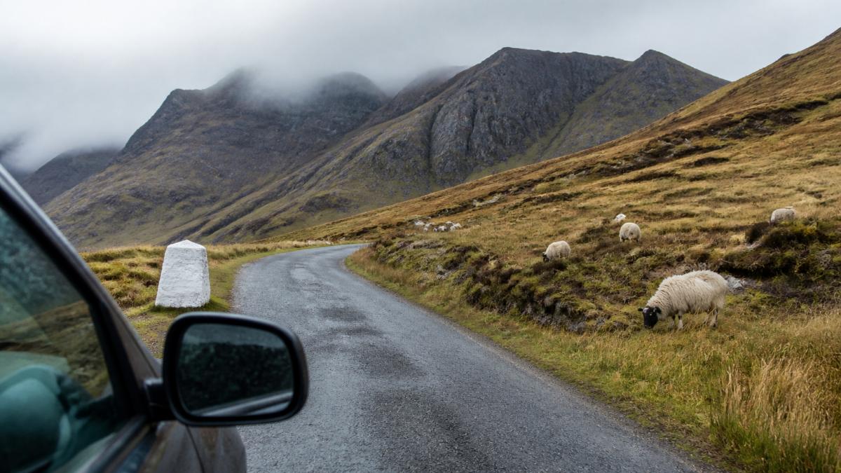
Single-track roads are the defining feature of driving the Isle of Skye scenic routes. They cover roughly 40 percent of the island's road network and link remote villages, beaches, and viewpoints that wider roads cannot reach. These roads demand a different mindset from mainland driving, they're not hazards to tolerate, they're part of the landscape.
How passing places work
Passing places are small pull-ins marked with white rectangles painted on the road edge or a white pole with a black stripe. They appear every 100-200 metres on single-track roads.
If you're behind a slower vehicle and no passing place is visible ahead, stay behind them. Attempting to overtake on a single-track road without a designated passing place is dangerous and illegal. Patience is not a virtue on these roads; it's a survival skill.
Speed and safe practices
Single-track roads demand lower speeds than you might expect. Aim for 40-50 kilometres per hour on most sections, dropping to 20-30 kph on the tightest bends or when visibility is poor. Your speed should allow you to stop within the distance you can see ahead. In rain or mist, this distance shrinks dramatically.
Keep your headlights on at all times. Dip them when meeting oncoming traffic. Use dipped beam even in daylight on overcast days, it helps other drivers see you earlier. Never assume a passing place is empty; always slow down and check before proceeding.
How Long to Drive Around the Isle of Skye
The island's road network forms several possible loops, each with different timings and scenery. Most visitors underestimate how long routes take. A journey that looks like 90 minutes on a map often takes two and a half hours on the ground, or longer if you stop to explore.
Realistic timings for main routes
The classic northern loop (Portree to Trotternish to Staffin and back) covers roughly 80 kilometres and takes three to four hours of driving alone. Add viewpoint stops, and expect five to six hours.
The full island circumference is roughly 200 kilometres. Driving it non-stop takes six to seven hours. With realistic stops, expect a full day or split it across two days. Many visitors try to complete the island in a single day and finish exhausted, having missed the quieter corners that make Skye special.
Building in time for stops and sightseeing
Plan for at least 30 minutes at major viewpoints like the Old Man of Storr or Neist Point. Popular stops can have queues for parking, especially in summer. Early morning or late afternoon visits avoid crowds but demand careful daylight planning.
The Fairy Pools near Glen Brittle deserve two hours if you plan to walk to them. Dunvegan Castle requires two to three hours if you enter the castle and gardens. Glenfinnan Viaduct, just off the island on the mainland, is worth 90 minutes. Build these into your itinerary with realistic buffers.
Planning Your Isle of Skye Road Trip Itinerary
A well-planned itinerary balances driving time, sightseeing, and rest. Most visitors benefit from spreading their exploration across three to five days rather than cramming it into one or two. This pace allows you to experience both famous landmarks and the quieter corners that make the island memorable.
Northern and southern route options
The northern route starts in Portree and heads to Trotternish, where the Old Man of Storr and Lealt Falls dominate. Continue to Staffin, then loop back via the Quiraing and Flodigarry. This route showcases dramatic cliffs, narrow passes, and moorland vistas.
The southern route from Broadford explores Glen Brittle, the Fairy Pools, and the Cuillin foothills. It then heads south to Sleat, where woodland and quieter roads contrast with the northern drama. This route suits photographers and those seeking solitude. The western route from Dunvegan includes Neist Point lighthouse, Glendale, and remote beaches.
Must-see stops and viewpoints
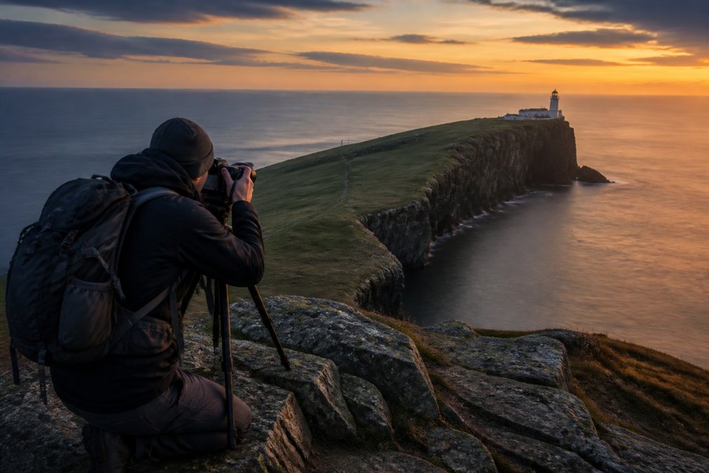
The Old Man of Storr offers views across the Sound of Raasay and the mainland. It's busy but worth the early start to beat crowds. The Quiraing near Staffin provides otherworldly rock formations and walking trails. Neist Point lighthouse at the island's western tip rewards the narrow-road drive with coastal views and a working lighthouse.
Dunvegan Castle, near Skye Lodge, combines history with coastal views and gardens. Glenfinnan Viaduct, just off the island, features the iconic curved railway bridge. Eilean Donan Castle sits on the mainland near the Skye Bridge but makes a dramatic stop en route.
Using an Isle of Skye Driving Route Map
Navigation technology has transformed road trips, but the Isle of Skye's terrain and variable signal mean offline preparation is essential. A combination of digital tools and physical maps gives you confidence on unfamiliar roads.
Navigation tools and connectivity
Google Maps and Apple Maps work well on main roads, but signal is unreliable in mountain passes and remote areas. Download offline maps before you arrive. Dedicated driving apps like Sygic or Maps.me offer better offline functionality. Sat nav systems in rental cars often work, but their databases may be outdated for minor road changes.
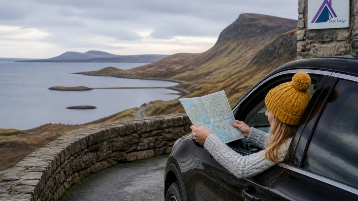
Mobile signal comes and goes. Download offline maps, write down key postcodes and place names, and don't rely on real-time traffic data. A physical map of the island costs a few pounds and provides a backup when technology fails.
Offline maps and backup planning
Before leaving your accommodation, photograph key route sections or write down turn-by-turn directions for your main journey. Note postcodes for your destination and major stops. This sounds old-fashioned, but it saves frustration when your phone loses signal on a mountain pass.
Many viewpoints and trailheads lack postcodes. Instead, note the place name and nearby village. Use this information to search on your map app before signal drops. Printed maps from the visitor centre in Portree are free and invaluable. They show single-track roads, passing places, and viewpoints that digital maps sometimes miss.
Weather, Daylight, and Seasonal Driving Conditions
The Scottish Highlands experience rapid weather changes. A sunny morning can turn to rain and mist within hours. Daylight hours vary dramatically between seasons, affecting how much you can explore in a single day.
Winter and autumn considerations
Winter driving (November to February) demands extra caution. Days are short, sunrise around 8:30 am, sunset by 3:30 pm in December. Snow and ice affect high passes and exposed routes. The A87 to the Skye Bridge can close during severe weather. Check road conditions before setting out; contact the local council or use Traffic Scotland for updates.
Autumn (September to October) offers crisp visibility and fewer tourists, but weather is unpredictable. Rain is common; roads become slippery. Spring (March to May) brings improving daylight and drying roads, though mountain passes may still have snow patches in March.
Planning around daylight hours
In winter, plan routes that use daylight efficiently. Head out by 8:00 am to maximise exploring time before dusk. Avoid routes with long drives to distant viewpoints if you're arriving mid-afternoon. In summer, you can start later and drive later, but crowds mean parking challenges at popular stops.
Sunrise and sunset locations deserve planning. The island's western coast offers dramatic sunsets over the Atlantic. Plan a viewpoint stop for late afternoon, allowing time to reach it before light fades.
Parking, Congestion, and Responsible Stopping
Popular viewpoints can become congested, especially in summer. Responsible parking protects the landscape and ensures other visitors can access stops safely.
Parking at major viewpoints like the Old Man of Storr and Quiraing is managed by private operators. Arrive early to secure a space; many car parks fill by 10:00 am in peak season.
Respect private land. Many viewpoints sit on crofting land or private estates. Stick to designated parking areas and paths.
Avoid stopping on single-track roads except at passing places. Never park on bends, near blind summits, or where your vehicle blocks oncoming traffic.
Driving the Isle of Skye scenic routes transforms how you experience the Scottish Highlands. Whether you're exploring for two days or five, the key is moving slowly enough to discover both the famous landmarks and the quieter corners that make Skye unforgettable. Check Traffic Scotland for real-time road conditions before setting out, and consult the local council weather service for seasonal forecasts that help you plan around Highland weather patterns.
Frequently Asked Questions
How long does it take to drive around the Isle of Skye?
A complete loop around the Isle of Skye takes approximately 3 to 4 hours of continuous driving, depending on your route and road conditions. However, most travellers add 20 minutes to every hour of travel on Highland roads to account for single-track sections, passing places, and slower speeds. If you're stopping at viewpoints, scenic attractions, and landmarks like the Old Man of Storr or Eilean Donan Castle, plan for a full day or longer to enjoy the driving experience properly.
What should I know before driving on the Isle of Skye scenic routes?
Single-track roads dominate much of the island, requiring patience and courtesy when meeting oncoming traffic. Check weather forecasts and road conditions before you leave, as Highland weather changes rapidly. Ensure your vehicle is in good condition with adequate fuel and a spare tyre. Download offline maps as mobile connectivity is unreliable in remote areas. Most importantly, allow extra time for your journey and plan stops in advance to enjoy the landscape rather than rushing through it.
Can you drive around the Isle of Skye in one day?
Technically yes, but it's not recommended. A full circuit takes 3 to 4 hours of driving alone, and adding even basic stops for fuel, food, and photography easily extends this to 8 to 10 hours. Many visitors attempt a day trip and find themselves stressed and unable to appreciate the scenery. A 2-night minimum allows you to explore at a relaxed pace, while 3 to 5 nights lets you discover quieter corners and iconic landmarks without rushing, making far better use of your time.
How do passing places work on single-track roads?
Passing places are pull-ins marked on the left side of single-track roads, allowing one vehicle to stop so another can pass safely. If you meet oncoming traffic, pull into the nearest passing place on your side of the road. If a passing place is ahead of the oncoming vehicle, they should reverse into it. Never block a passing place with your parked car. Treat other road users with courtesy, reverse smoothly if needed, and always give a friendly wave to acknowledge the other driver's patience.